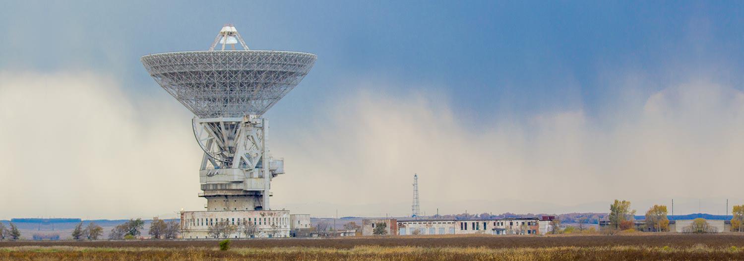
Satellite Ranging Observatories Birds eye view of the Orroral SLR Observatory. It is a dome shaped building approximately 15 m wide with a telescope visible through the top. The Observatory is built on rock in a clearing within bushland. Orroral Satellite Laser Ranging Observatory The then Lunar Laser Ranging (LLR) facility at the Orroral observatory located in the Namadgi National Park, 70 kilometres south of the Australian Capital Territory, was finally constructed and occupied in March 1975. During the period 1978-1980 LLR was the primary activity at the Orroral, which closed on 31 October 1998 and was replaced by a new facility located on Mount Stromlo. Following a grant from NASA, the Orroral Observatory was upgraded to Satellite Laser Ranging (SLR) in 1981. In 1984, the first observations to the Lageos satellite were taken. Mount Stromlo Satellite Laser Ranging Observatory The Mount Stromlo Satellite Laser Ranging (SLR) facility is part of a worldwide network of approximately 42 SLR stations with only six located in the southern hemisphere. The Mount Stromlo facility is one of two SLR units managed by Geoscience Australia and currently operated under contract by Electro Optic Systems (EOS) . The second facility is at MOBLAS 5 (Yarragadee), near Dongara, Western Australia. Side on view of the Mt. Stromlo SLR Facility. The main structure is a single story building in a clearing within a pine forest. Two domes rise above the building, one of which contains the SLR telescope. Mount Stromlo Satellite Laser Ranging The Mount Stromlo facility is newly built after being destroyed in the January 2003 bush fires that swept across two-thirds of the Australian Capital Territory (ACT). The official opening was on 1 April 2004, and after further testing and validating, became operational on 1 December 2004. MOBLAS 5 Satellite Laser Ranging Station The Moblas 5 (Yarragadee) SLR facility is located 100 kilometres south east of Geraldton, Western Australia. The observatory plays an important part in the Australian and International geodetic framework and has been operational since 1979. The observatory includes the University of Tasmania (UTAS) Very Long Baseline Interferometry (VLBI) radio telescope which was established as part of the AuScope Program. The observatory is adjacent to the Universal Space Networks (USN) facility. The Moblas 5 (Yarragadee) SLR facility is managed and operated by Geoscience Australia staff. NASA operates a number of Moblas facilities around the world and owns the MOBLAS 5 equipment. At the Moblas 5 site there are also Global Navigation Satellite Systems receivers along with a DORIS transmitter and time reference equipment.